Improving Spatial Precipitation Distribution Map - Analysis for Bridge Inspections and Emergency Response
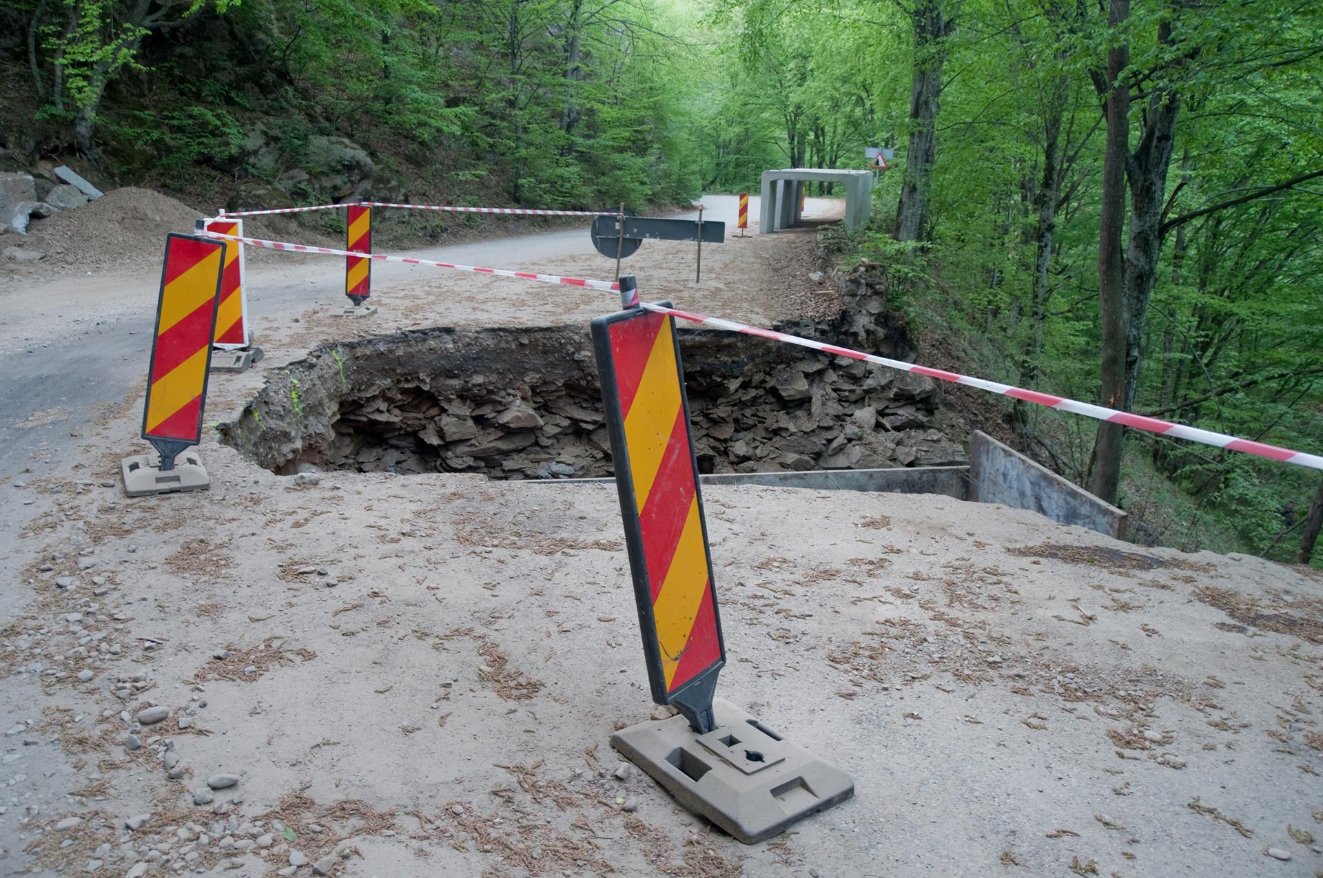
Background: The objective of this project is to improve the capability of detecting potential hydrologically-related threats (such as floods) to the transportation infrastructure statewide and to provide timely decision support for the corresponding response efforts.
Findings: The system for scour-critical bridge monitoring that has been employed at PennDOT required extensive operational activities for the retrieval of precipitation data and the analysis of the severity of storm events. Moreover, only daily resolution of the radar precipitation has being used for such purposes.
Results: This project has developed a software system, the Hydrologic Disaster Forecasting and Response (HDFR), that is capable of automatically acquiring in real-time and near real-time observations and forecast data from numerous data sources/providers (e.g., weather stations, radars, satellites, model forecasts, etc.), optimally combining them, and performing analyses of storm severities at high spatial and temporal resolutions. This HDFR system integrates data and severity modules behind a unified open-source GIS graphical user interface which allows non-expert users to easily execute complex workflows with minimal user involvement.
Recommendations: The prototype of the HDFR system is currently being tested by the Bridge Engineering team at PennDOT and their feedback will allow for further refinements to the existing workflows. It is also recommended that Pitt and PennDOT continue to collaborate to extend the capabilities of the HDFR system to serve in additional operations such as monitoring of additional threats and infrastructure design.
Contacts
Principal Investigator : Xu LiangDate
Related Links


50 KSI Steel Piles


Bridge Waterproofing Details

Biodiesel Fuel Feasibility Study

Depth to Bedrock Seismic Measuring Device

Repair Method of Pre-stressed Girder Bridges

Phase 2 - Bridge Scour


Freeway Ramp Management


Market Analysis of Construction Materials with Recommendations for the Future of the Industry